
FallinWed 22 Apr
Essential Info
FVO Wednesday Evening Series
Local series of forest orienteering events running from Easter until the summer holidays.
Four courses offered:
- Yellow - (1.5km to 2km). Relatively simple navigation, mostly on paths. Searching for obvious features like path junctions and stream crossings.
- Orange - (2km to 3km). Slightly tougher navigation, which may take you off paths. Searching for features like boulders and tree stumps.
- Green - (3.5km to 5km). Tough navigation, off path and searching for more obscure features, such as depressions and re-entrants.
- Short Green - (3km to 4km). A shortened version of the Green course - just as tough, but less distance.
Start times: 1730-1900
Entries for all WEEs will be taken through the FVO entry system.
Local event
Local events are competitive but low key and in the 'localised' area, often on a Wednesday evening or a weekend morning. Try O events are local events tailored to anyone new to the sport, with coaches on hand for advice and tips. Open to all ages, abilities and fitness levels, learn to use a map and compass to navigate round short courses.
Training events are non-competitive and used for training and coaching. These are aimed at members of the club, but non-members and newcomers are also welcome. Social events are non-orienteering activities, with the annual highlight being our Awards Evening and ceilidh!
Regional events attract participants from around the local region, National events are high quality competitions that will attract people from far away, and Major events are large competitions such as a British Championships or the JK.
Results
league tables (after 3 events)
Pre-event Information
Location Info
/-3.8701,56.1012,11/500x400?access_token=pk.eyJ1IjoicGF1bGZyb3N0IiwiYSI6ImNtMml0emVpODBtMjAyaXNhNmthNW1oMnEifQ.P6n-xW89MfoytQ4_n7dxPQ)
Near: Fallin Lat,Lng: 56.1012,-3.8701 Postcode: FK7 7JD What3Words: ///resonates.desire.decide
Open an interactive map in: GoogleMap - OpenStreetMap - AppleMaps - BingMap
Directions & Parking
Event is around 2km east of Stirling city, on the A905. Parking is available at the Polmaise Colliery Museum, or on nearby residential streets.
National Cycle Route 76 passes parallel to the A905, and goes directly to the start.
The F16 bus from Stirling to Westquarter leaves Stirling bus station hourly at 35 minutes past the hour, and reaches Fallin 18 minutes later (bus stop directly opposite the venue). Buses return to Stirling at 1809, 1909 and 2017.
Map & Terrain
1:5000 ISSprOM 2019-2 map with 2.5m contours, drawn by Graham Gristwood in 2015, and updated 2025 by Joe Hudd.
Terrain is a mix of former colliery lands, with a sizeable landscaped bing, and trackless woodlands around the Wester Moss SSSI.
We are experimenting with a non-standard map notation this evening; control #6 on each course will have a line under the number, so as to tell when your map is folded whether you are headed for #6 or #9. If this is successful, it may be possible to do this again at future events.
Course Information
| Course | Length | Climb | Controls | Map Flip |
|---|---|---|---|---|
| Green | 4.5km | 55m | 19 | Yes |
| Short Green | 4.0km | 40m | 13 | Yes |
| Orange | 2.3km | 55m | 12 | No |
| Yellow | 1.8km | 20m | 11 | No |
Green and Short Green courses are designed as a "one-man, two leg" relay, and will involve two circuits of the terrain
Entry Details
Enter here. "Early" entries close at 1000 on 21/04, thereafter subject to map availability
Registration & Start times
Starts any time from 1730 until 1900. Courses close at 2000
Facilities
Nearest convenience at Springkerse Retail Park in Stirling, 2.5km away.
Safety Notes
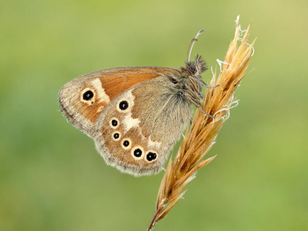
Wester Moss is a Site of Special Scientific Interest, with some rare butterflies on display. However, as part of our access conditions, it shouldn't be entered by orienteers, and courses will circumnavigate the Moss.
Dog restrictions
None. The area is very popular with local dog-walkers, and you may encounter animals of unusual size.
Contacts & Officials
Steve Scott (email hidden; JavaScript is required)